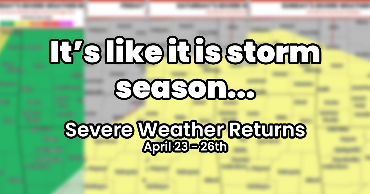
The Storm Prediction Center has highlighted multiple days for potential severe weather in the WoolawayWx coverage area.
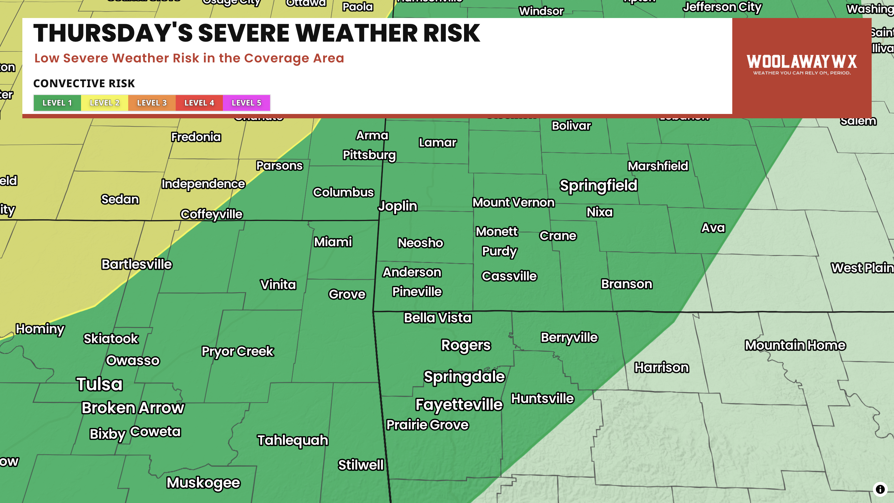
Thursday 4/23
Thursday is the first day that we get back into the severe weather risk for the next couple of days. Currently, only a marginal, level 1/5, severe weather risk is in place for the coverage area. While this isn't a high risk, it does note that we could see some gusty winds, some hail to the size of quarters, and low potential for tornadoes as storms move through the area Thursday night into Friday morning.
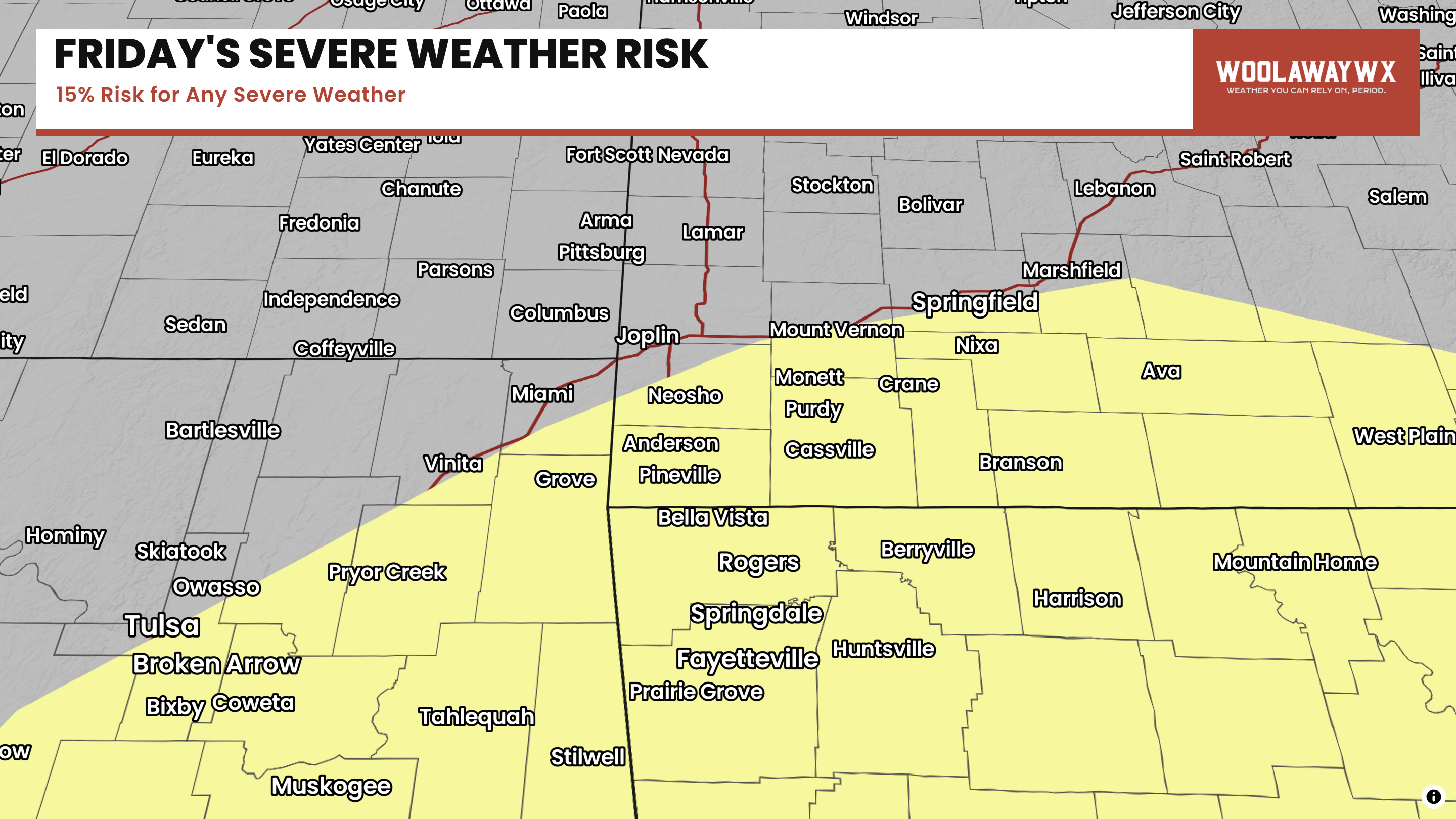
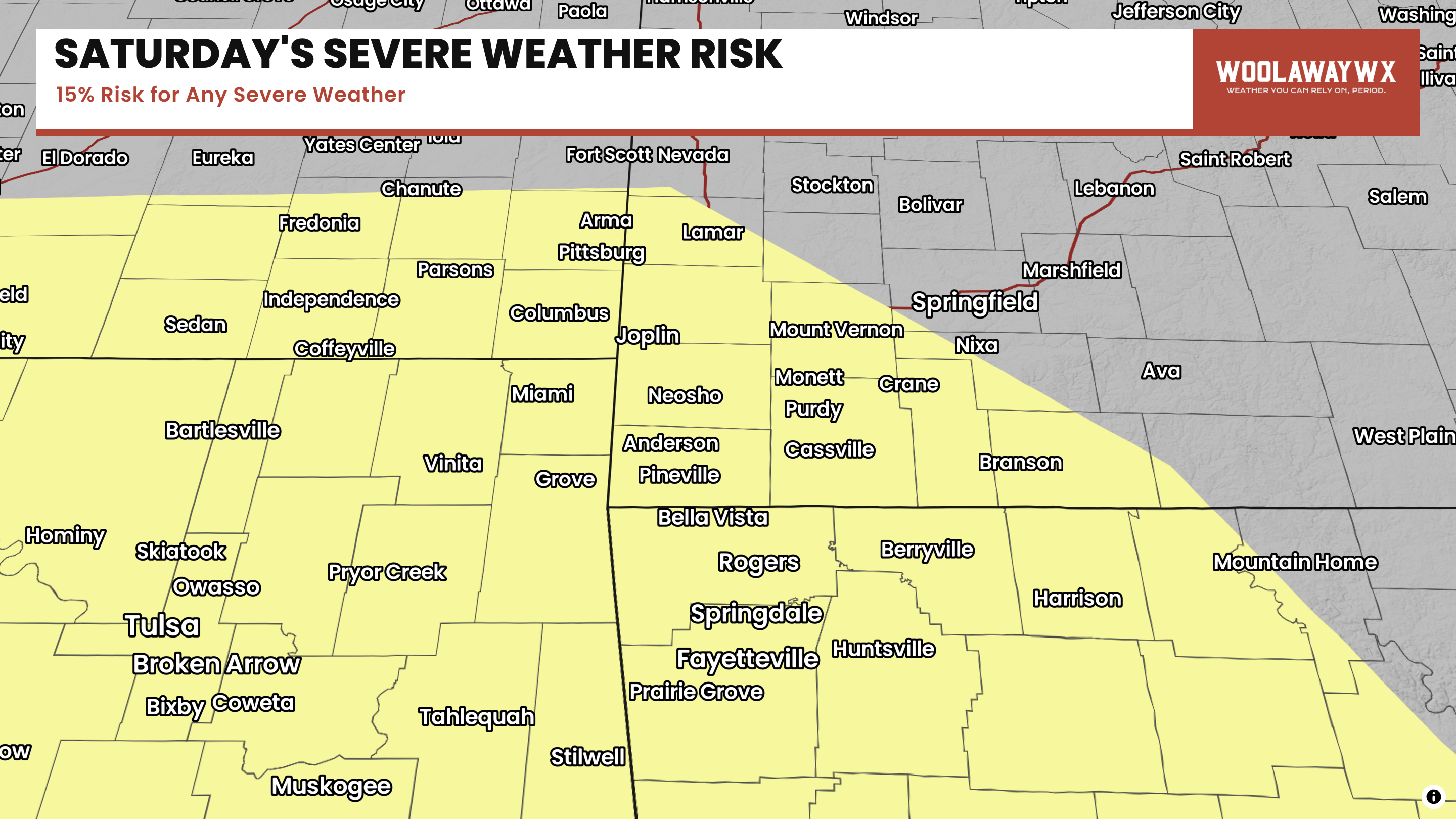
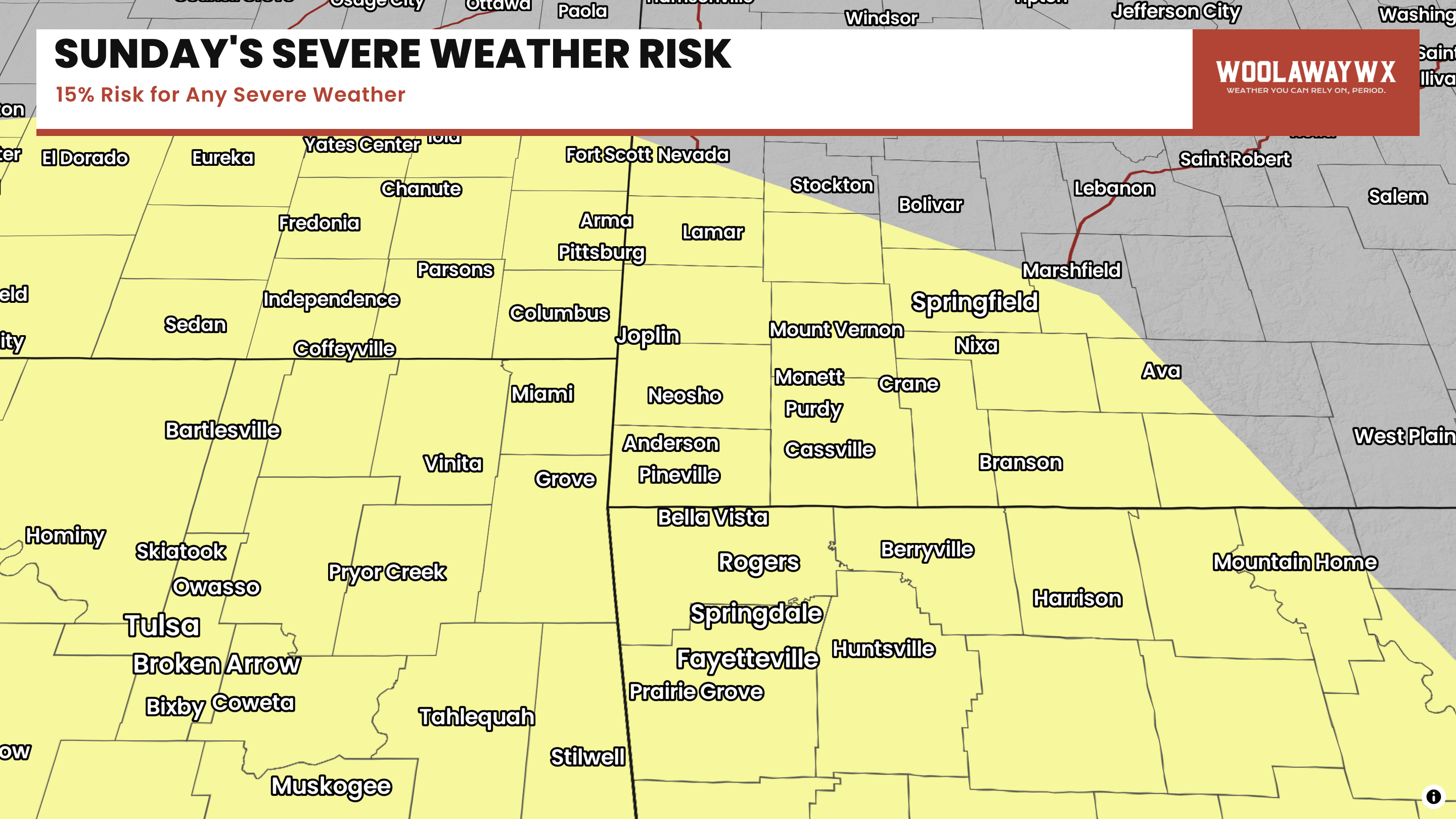
Friday - Sunday
As of the moment, there is not a ton of confidence in exact details for these days, and this was mentioned in the Storm Prediction Centers discussion about how many of these risks are going to be based on the convection before, so it is hard to be precise when that is the case. All day does appear to have decent potential environments that would support all modes of severe weather, but I haven't seen a ton of parameters that look 'explosive' for severe weather, but as mentioned, confidence is pretty low, so I am not overly sold on the risks yet, especially given how this year has turned out so far.
It will be super important to make sure you have a weather source to trust over the next couple of days, and make sure that you are weather aware! We (meteorologists and other weather information sharing people) can post every hour of every day, but unless you read the information, it generally doesn't lead to you knowing about the weather. While you are reading all the posts, make sure you have multiple ways to get weather alerts, and have a plan to seek shelter when a severe thunderstorm warning or tornado warning is issued for your location, including your home, work, school, business, etc.
- Cade